
A laser-rewritten map
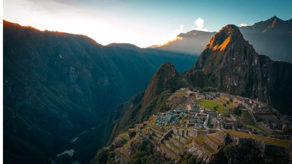
The discovery did not come from a traditional excavation, but from LiDAR technology: an aerial laser scan capable of «seeing» through dense vegetation and revealing structures hidden for centuries beneath the cloud forest surrounding Machu Picchu. Using this tool, a joint team from the Center for Andean Studies of the University of Warsaw and the Decentralized Directorate of Culture of Cusco surveyed the area near the Mandor wall, one of the least explored boundaries of the archaeological park.
What they found was not just any path. It is a network of roads and ancillary structures that includes a 1.2-kilometer main section, laid out in a zigzag pattern—an engineering technique typical of Incan mountain trails, designed to gain altitude without exhausting the walker—along with platforms and terraces that likely served agricultural or ceremonial functions.
A Machu Picchu we still haven't finished getting to know
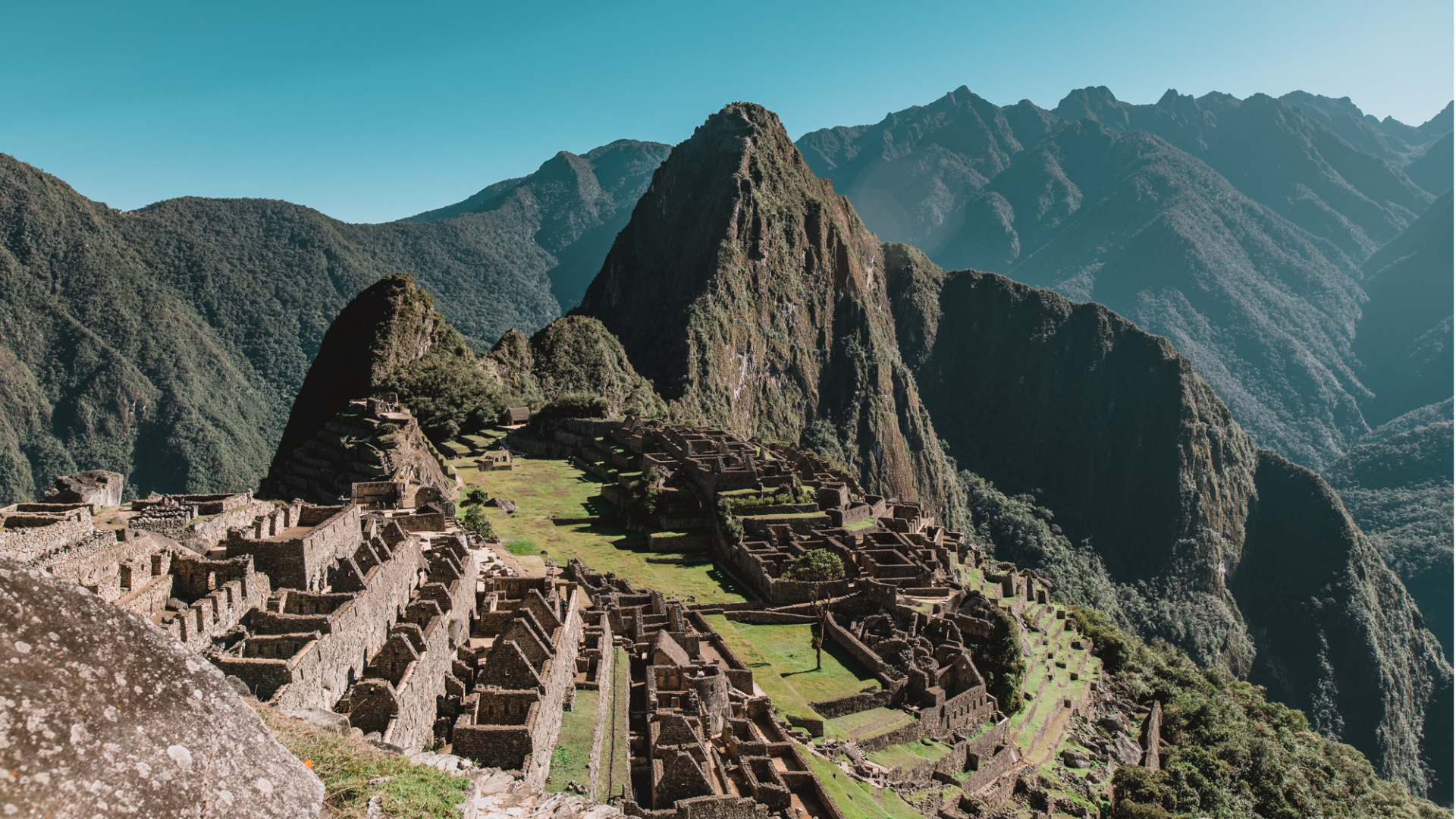
For anyone who has visited Machu Picchu, it is easy to imagine it as a place that is already fully studied: photographed from every angle, walked by millions of people, present in every Peruvian history book. This discovery proves otherwise. The citadel we visit today is barely a visible fraction of a much broader territorial system, conceived and built by the Incas with a level of planning that still surprises archaeologists.
The new roads do not just add kilometers to the map: they add context. They help us understand how people moved between the citadel and the surrounding landscape, how the nearby agricultural territory was organized, and what other functions—beyond the already known religious and administrative ones—this part of the Machu Picchu environment may have had
Why this matters to travelers
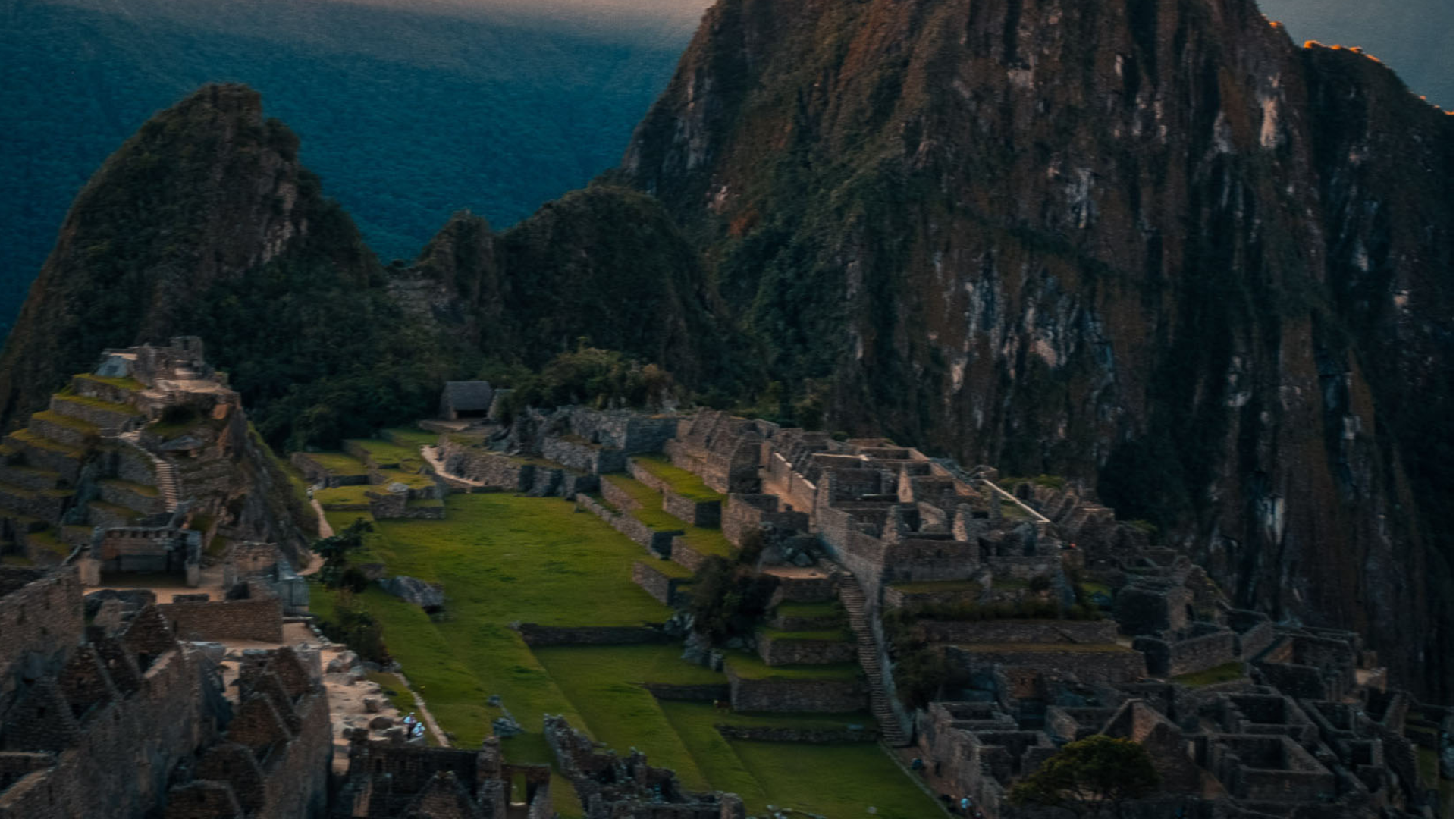
For travelers, this type of news holds a particular appeal: it turns Machu Picchu into a living destination, not a postcard frozen in time. Every new discovery fuels the possibility of future routes, viewpoints, or stories that add to the experience of those visiting the area in the coming years, and it confirms something we often repeat at the agency: going to Cusco and Machu Picchu is not checking a box off the list of «places you have to see,» it is entering a territory that archaeologists themselves are still discovering.
There is still no defined date or method as to whether these 2.5 km of trails will be integrated into a tourist circuit —studies in the area are ongoing—, but the news alone is enough to make you look at Machu Picchu with new eyes. If you were hesitating about adding Cusco to your next South American trip, this is just one more good excuse.